Louisiana’s cartographic legacy, shaped by shifting parish boundaries, evolving surveying techniques, and cultural influences, offers researchers a layered narrative that differs from conventional state‑wide maps. By tracing each parish’s map evolution—from early French cadastral sketches to modern GIS layers—scholars can uncover settlement patterns, political decisions, and environmental changes that remain invisible on broader state maps.
What makes parish‑level mapping a valuable research tool?
Studying maps at the parish level reveals micro‑trends that aggregate into state‑wide phenomena. For example, the 1820s French‑Spanish surveys show how waterways dictated early parish delineations, while the 1900s U.S. Geological Survey (USGS) revisions reflect railroad expansion and oil‑field development. These details allow a researcher to pinpoint why a particular community grew, how land use shifted, and which infrastructural projects reshaped local economies.
How can you locate historical parish maps?
Begin with institutional repositories that specialize in Louisiana’s cartography:
- Louisiana State Archives – Holds original plat books, parish commission minutes, and digitized map collections dating back to the early 1800s.
- University libraries – Tulane and LSU maintain special collections of French colonial maps, antebellum atlases, and post‑Civil War revisions.
- National Archives (College Park, MD) – Provides federal survey maps, especially USGS topographic series that often include parish overlays.
- Local historical societies – Smaller parishes may retain privately donated map sets that aren’t cataloged nationally.
When accessing these sources, verify the map’s scale and legend clarity; many early sketches omit consistent north arrows, which can lead to misinterpretation.
Which methods turn old maps into actionable data?
Once you have the images, digitize them at a minimum of 300 dpi to preserve detail. Then, follow a step‑by‑step workflow:
- Georeferencing – Align historical maps with contemporary GIS layers using identifiable control points such as river bends, major road intersections, or historic landmarks.
- Vectorization – Trace parish boundaries, hydrography, and settlement markers to create editable shapefiles.
- Temporal layering – Stack maps from different decades to visualize boundary shifts, annexations, or land‑use conversions.
- Statistical analysis – Apply spatial statistics (e.g., kernel density, proximity analysis) to relate map changes to demographic or economic datasets.
These techniques let you quantify what once seemed anecdotal, turning narrative descriptions into reproducible evidence.
What pitfalls should you anticipate?
Historical cartography carries inherent uncertainties. Early French “cadrans” often rely on informal field notes, leading to irregular parish lines that differ from later legal definitions. Additionally, map projections changed over time—French surveys used the Cassini projection, while later U.S. maps adopted the Lambert Conformal Conic. Failing to account for these shifts can produce distorted overlays. Finally, be cautious of archival gaps; some parishes have missing decades due to fires or negligence, requiring interpolation or supplemental sources.
How does a parish‑focused perspective reshape broader Louisiana narratives?
By aggregating parish‑level insights, scholars can reconstruct statewide trends with greater nuance. For instance, tracing the rise of sugar‑cane plantations across coastal parishes highlights environmental impacts that differ from inland timber economies. Similarly, analyzing the redrawing of parish borders after the 1898 Constitution reveals political maneuvers that influenced voting districts for decades. This bottom‑up approach challenges monolithic histories and supports more targeted policy discussions, such as flood‑risk management informed by historic waterway maps.
What next steps will solidify your research?
Develop a reproducible workflow documentation, share georeferenced layers on open portals like Louisiana GeoPortal, and collaborate with local historians to validate interpretations. By closing the loop between archival discovery and modern analysis, you ensure that the unique perspective offered by parish maps becomes a living resource for future investigators.
Premium Photo | Woman Riding Mtb In Maremma Nature Reserve, Tuscany

Premium Photo | Woman riding mtb in maremma nature reserve, tuscany ...
Premium Photo | Woman Riding MTB In Maremma Nature Reserve Tuscany

Premium Photo | Woman riding MTB in Maremma nature reserve Tuscany ...
Premium Photo | Woman Riding Mtb In Maremma Nature Reserve, Tuscany

Premium Photo | Woman riding mtb in maremma nature reserve, tuscany ...
Grand Tour Der Maremma | Visit Tuscany
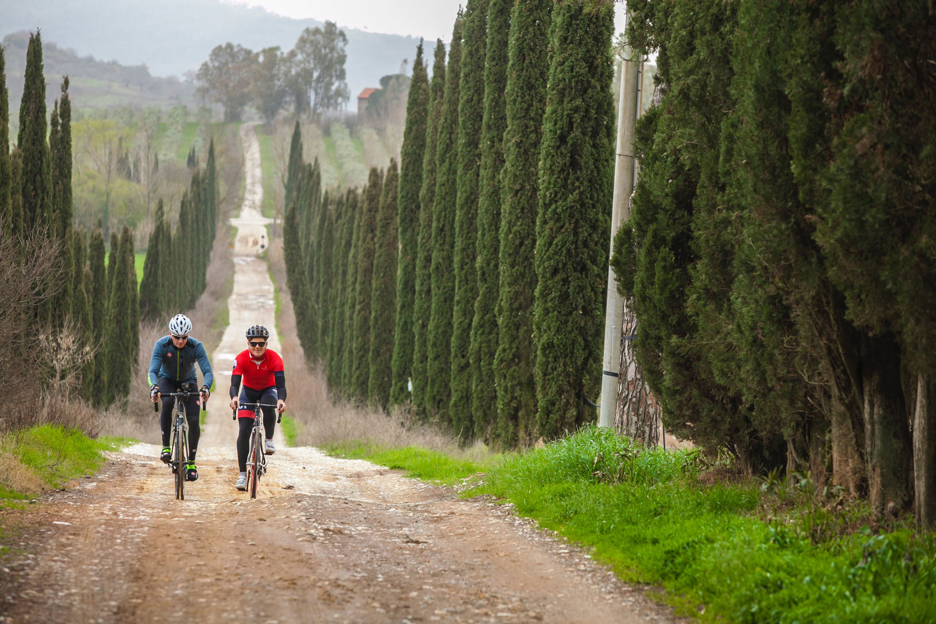
Grand Tour der Maremma | Visit Tuscany
Adventures In Maremma: A Cyclist’s Guide To Tuscany - Girly Bike

Adventures in Maremma: A Cyclist’s Guide to Tuscany - Girly Bike